Mini Adventure - Triangulation

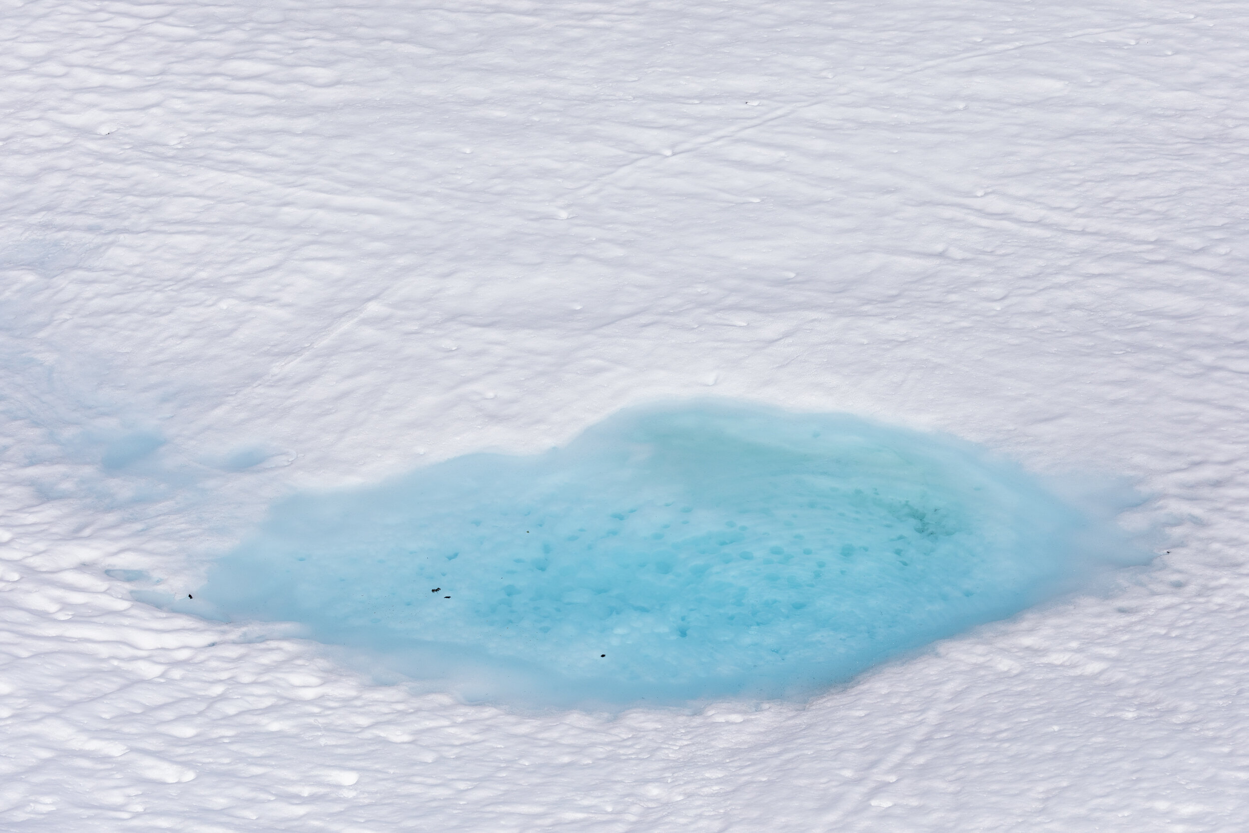
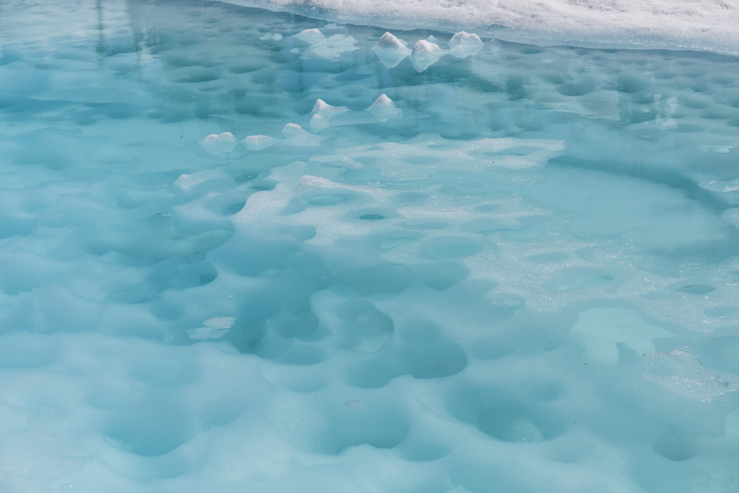
Semaphore lake was slowly melting out, and as the water came above the ice it left this brilliant blue.
Not every adventure is some epic multi-day mountain ridgetop traverse, and I don’t think it always should be. This day was forecasted to be rainy and overcast, but we decided to get out regardless and just deal with the conditions. Not that I am against hiking in the rain, it can sometimes just be harder to motivate to go.

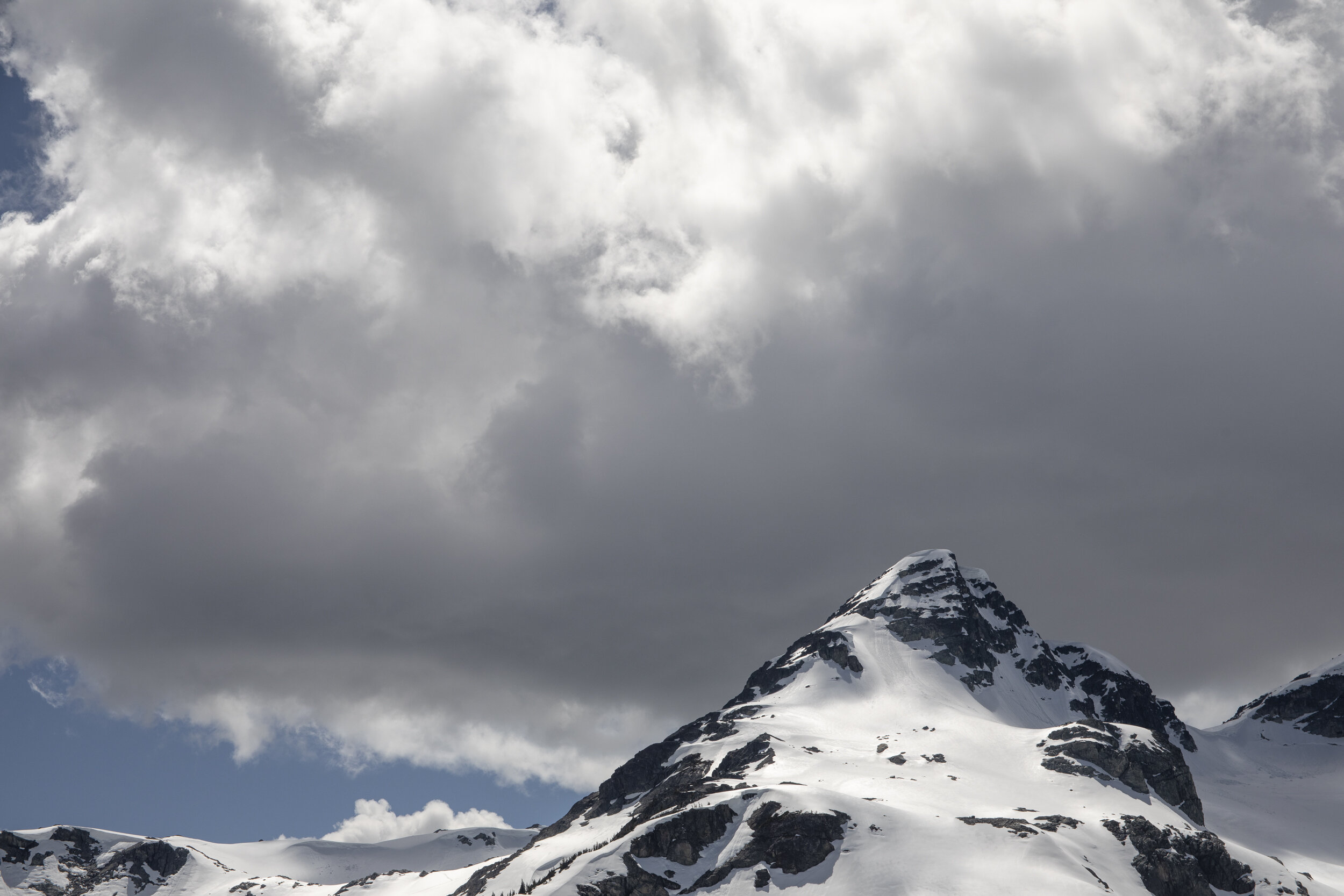
Although still snow covered, we were able to explore the sub ridges of the alpine.
Jen Godbout and I made the plan to get out to Semaphore Lakes, headed out and were pleasantly surprised when the sun was shining. Upon getting to the parking lot we realized we would be hiking in snow the entire way. With a colder spring then previous years the snowpack had experienced less snowmelt by this time of year. This meant slower-moving, and a bit more route finding through the trees but with our only objective to get out and enjoy some fresh air it wasn’t to much of a concern.
After navigating the way through the forest we finally made our way into alpine meadows. We picked our way around the lake a found a rock melted out of the snow to relax on and enjoy lunch.
Over lunch, it came up that I was wondering how to use a compass. I had been discussing it with a friend a few days before, and realized I hadn’t used one in a while, and didn’t actually know how to pinpoint my location on a map using the compass and the surrounding environment. Overall I had limited experience with a compass from orienteering when I was a Boy Scout. I knew how to read a map, find two points and use a compass to set a path between those points and follow the compass, but that was where my knowledge ended.
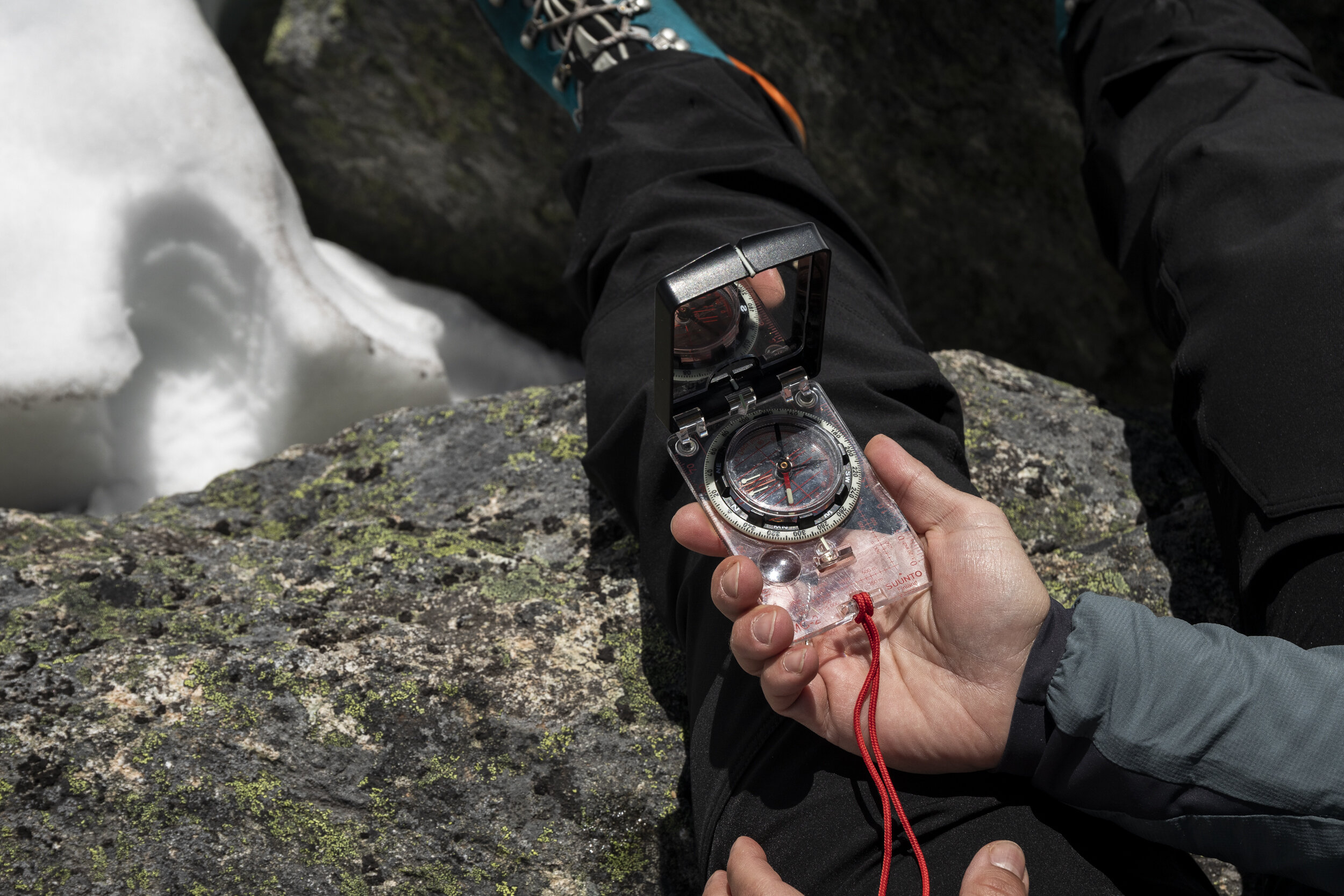
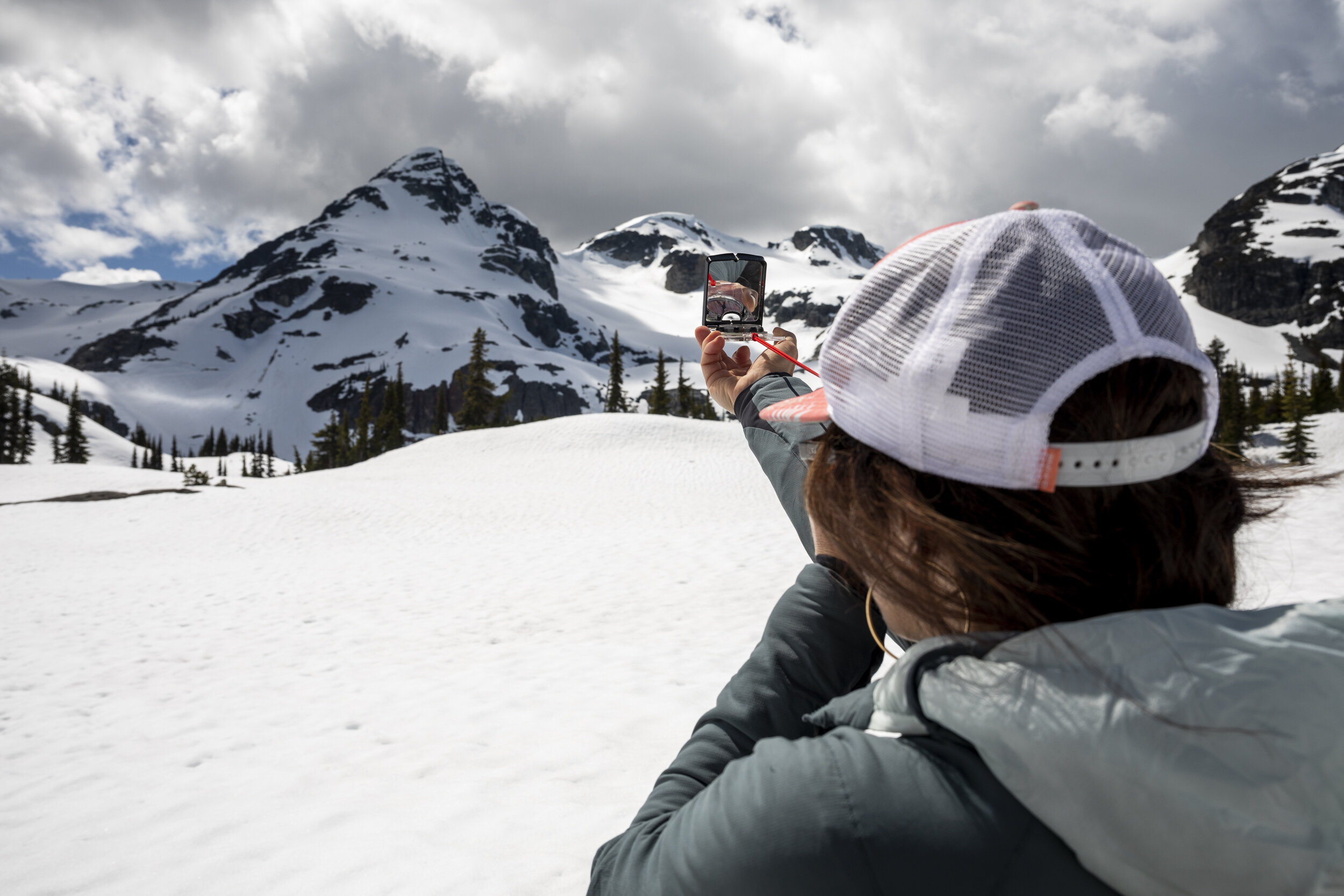
In between bites of my sandwich I mentioned this to Jen. She is extremely knowledgable about the mountains and a good teacher who has taught me many skills over the years without ever making me feel like I should have already known something. She pulled out her compass and proceeded to give a quick crash course in triangulation. We then spent the next little while practising, using different peaks around us to take readings. Hopefully, this is a skill that I never have to put to use in an emergency situation, both through using other tools available such as GPS, and being prepared to prevent getting lost in the first place. It is never a bad thing to learn more, and have more tools at my disposal.

Jen demonstrating how to use a notable land feature to take a reading on a compass.
After Jen patiently taught me the skill and answered my barrage of questions, we continued to explore the meadow. Hiking around the slowly melting alpine lakes before deciding to head back down to the truck. What we originally thought was going to be a day of hiking in the rain, turned into a sunny day filled with fresh mountain air and new skills to aid further mountain travel.
Note: After this trip, I have brought my map and compass on a few additional outings to practice triangulating my location. While I still need practice, I feel fairly confident I could find my exact location on a map with some sort of accuracy.